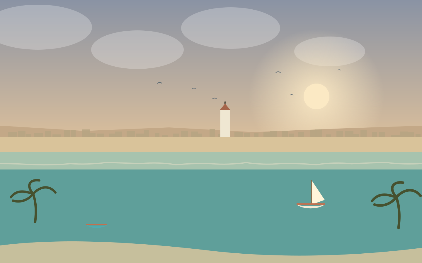
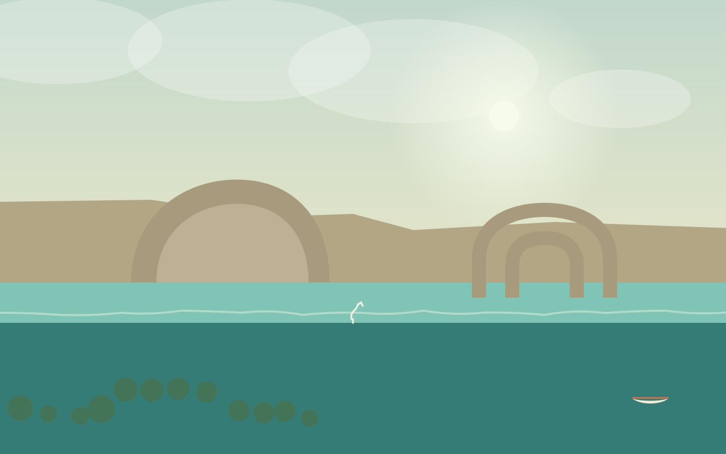
A town on the west coast, between a turquoise lagoon and the dry lands of the Deep South. Offshore, the great Toliara reef fringes the bay; in town, Vezo pirogues glide home toward the fish market. Welcome to Toliara, the city of the sun.
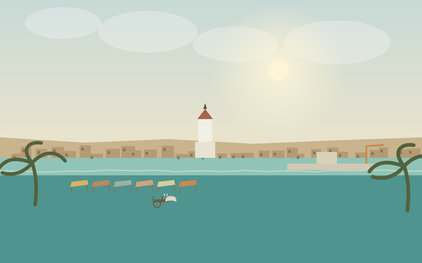
The centre fits into a quadrilateral between the waterfront and Boulevard Gallieni. People come early, when the stalls of the Maki market fill with fruit, dried fish and spices, and carts climb back up to the neighbourhoods.
Bazary Be & the Maki market
The great market fills the streets behind Place du Marché. Under the tarpaulins, vendors line up cassava, sweet potatoes, greens and dried fish. Zebu carts wait at the street corners. This is the best place to feel the rhythm of the town: everything happens before the sun climbs too high.
Boulevard Philibert Tsiranana
The main artery runs down to the sea between arcades, jewellers and shops. Below, the waterfront boulevard faces the schooners; at sunset, the terraces come alive in front of the horizon, carried by a distant tsapiky.
The cathedral & the craftspeople
The white Katedraly Loterana, calm and bright, marks the old centre. Behind the Alliance Française, the small shell and craft market shows off basketry and mohair rugs. Look at the shells without buying them: reefs cannot be replaced.
The market is liveliest early in the morning; the hot hours belong to the shade of the arcades.
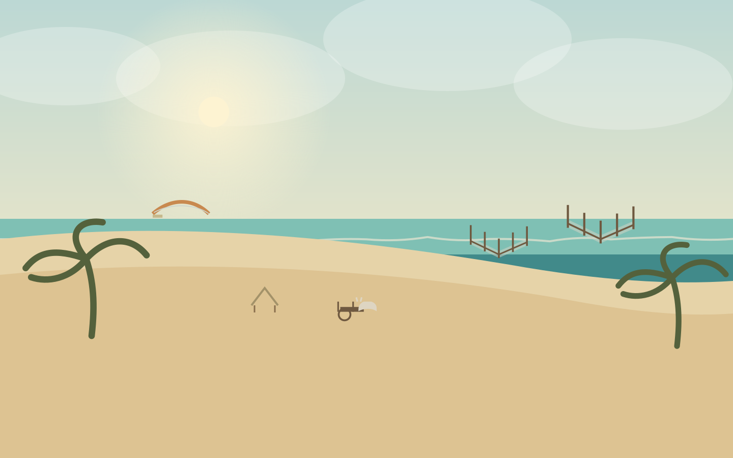
North of Toliara, La Batterie beach unrolls its pale sand between dunes and lagoon. It is the end-of-day outing: families settle in the shade of the shelters, children play ball, people walk by the water while boards glide on the wind and pirogues head back to port. The town stays in the background, a strip of white roofs.
Check local conditions before you go, especially late in the day.
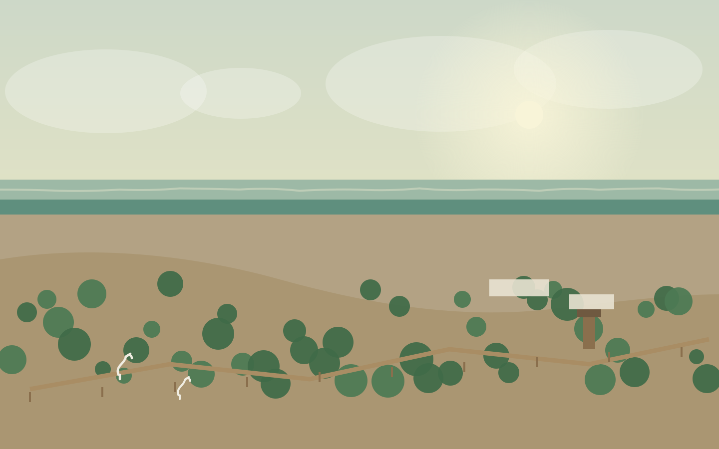
Twelve kilometres southeast of town, on poor limestone ground, Swiss botanist Hermann Petignat patiently gathered the flora of the southwest: candelabra euphorbias, thorny pachypodiums, baobabs and Malagasy vines. His old Citroën, once used to bring plants back, now ends its life under the vines. The paths cross a rebuilt spiny forest, where every plant tells a story of adapting to drought.
A local guide explains each plant; night tours are offered at the end of the day.
Twelve kilometres north, Ranobe Bay holds one of the first community mangrove reserves in the southwest. Seven species of mangrove tangle their roots in the channels, among abandoned salt pans. Fiddler crabs and herons live on the mudflats, and a wooden boardwalk crosses the forest to a viewing platform above the canopy.
The boardwalk crosses the mangrove without trampling it; the visit supports five villages.
Ifaty and Mangily face each other in the same light, lined along an endless beach. In front, the lagoon stays shallow for kilometres; farther out, the coral barrier breaks the swell. Outrigger pirogues leave under sail, kites cross the bay, and in the evening the filao trees draw shade on the sand, between the bungalows.
The reef is alive: no shells, coral or starfish are taken away.
“Reniala” means “mother of the forest” in Malagasy: the name given to the great baobabs that watch over the spiny forest. Across sixty hectares, the reserve protects century-old Adansonia rubrostipa, octopus trees with thorny arms and vegetation unique in the world, shaped by drought. Running couas and the birds of the southwest flit between the branches.
Two marked trails, from forty-five minutes to two hours.
At the back of Saint-Augustin Bay, where the Onilahy meets the sea, the coast reaches out in limestone peninsulas. The Sarodrano cave opens in the cliff: a freshwater spring forms a cool pool where visitors swim, while mangroves line the channels and outrigger pirogues glide toward the village. Above, the Andatabo massif spreads its limestone table, and Saint-Augustin remembers the fitampoha, the festival of the royal relics.
A local guide leads the cave visit; the water stays cool all year.
You leave Toliara by fast boat — an hour and a half at sea — for Anakao, a Vezo village set on the sand between lagoon and bush. Offshore, the islet of Nosy Ve rises among the coral shoals; its white cliffs host a colony of red-tailed tropicbirds. Created in 2015, the Nosy Ve-Androka marine park protects reefs, seagrass beds and turtles. Here the sea is a livelihood as much as a landscape.
Nosy Ve is a protected islet: land there without disturbing the birds.
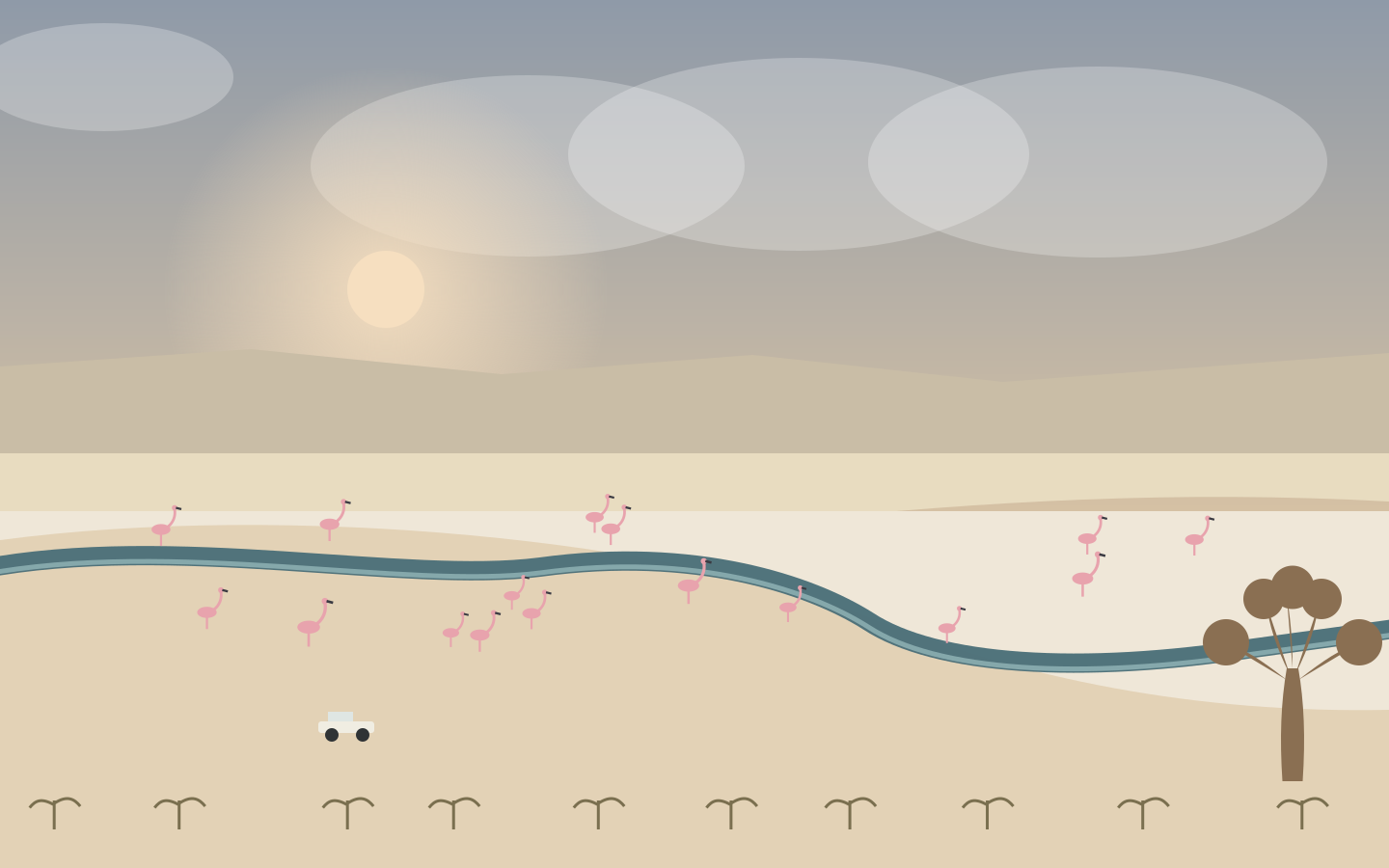
To the south, the road leaves the dunes and reaches the great salt lake of Tsimanampetsotsa, laid out like a white mirror at the foot of the Mahafaly plateau. Greater and lesser flamingos filter the shallow water; the spiny forest and its Adansonia rubrostipa cover the shores — here you greet the “smiling baobab” and the “grandmother baobab”. In the caves of the plateau live blind fish and sacred springs. Between salt, limestone and thicket, the Deep South unfolds all its strangeness here.
The lake is sacred: observe it from the shore and the marked viewpoints.